Trail Asset Management: What do we have and where is it?
By Laura Nessman on 2017-07-07 17:00
From a management standpoint, it makes good planning sense to know what you have. Increasingly more pressing, however, is the question of where? Where are the things we have?
Asset management is key for a wide range of businesses and organizations, including trail management groups. Within the Columbia Basin Trust area, there are many dedicated trail societies managing an extensive network of recreational trails.
In the past, notes jotted in a field book the day a bridge was constructed or repairs to a culvert were completed may have been enough. As trail networks expand however, so do the long lists of infrastructure and maintenance records. Effective management and planning therefore becomes increasingly more important, as does the need to manage spatial data in a centralized location.
This spring and summer, I had the opportunity to work with trail groups within the Columbia Basin Trust region. Several groups were seeking GIS support for collecting and managing trail infrastructure data. They wanted to know where trail signage was located, how many bollards were at certain trailheads, the diameter measurements of culverts, the year boardwalks were updated, the current condition of parking lots … the lists went on. Although each group ultimately had the same goal of creating an inventory of trail assets, they each had specific needs based on the nature of the trails they manage.
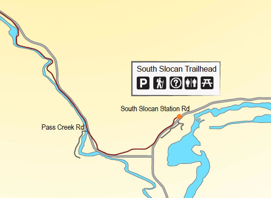
The Slocan Valley Rail Trail Heritage Society, who manages and maintains the 52 kilometre stretch of trail from Southern Slocan to Slocan Lake, was interested in collecting location data for trail infrastructure and having a way to visualize this data to assist in planning and management, but also to use for public education purposes. The Fernie Trails Alliance desired an up-to-date inventory of their trail infrastructure to be able to assess the current value and expected maintenance costs for each trail for the year. They wanted to be able to estimate depreciation times to assist in long-term maintenance plans and budgets. The Kootenay Columbia Trails Society requested assistance to implement a way to access their GIS remotely while out in the field so trail crews could collect and update data and submit damage reports.
Each group had specific needs, varying capabilities for collecting data, and unique wishes for how to utilize the data it in the future. What was common, however, were the questions to answer during the vital planning phase, which included the following:
- What questions do you want the data to be able to answer?
- Who will be asking these questions?
- What information do you need to collect in order to provide the answers?
- What is a realistic data collection method?
- What is an appropriate way to manage and display this data for the targeted user groups? The planning stage for these projects was important. The needs of the groups varied, therefore so did the processes. With sufficient planning, I was able to ensure the result of each project would meet the needs of each group, and ultimately answer their similar questions of ‘What do we have?’, and ‘Where is it?’.